Hemavan VFR
I have been skiing in Hemavan many times in the past Years. Hemavan is situated at " Blå Vägen" near Norwegian border.
The highway goes on to Mo i Rana, Norway. Once , in the Year 1978 I have made the trip during summer. I climbed
on the top of Ryfjället near Tärnaby. Just when I was reaching the top , a swedish military jet passed me below . I think this
was one of the reasons that made me want to come here flying my own plane some day.
It took me about a Year to prepare for this trip. I found valuable information about flying in mountaneos areas from following
net-pages :( http://www.lfv.se/upload/ANS/AIP/GEN/GEN%201/ES_GEN_1_5_en.pdf). l had to install ELT to my plane and
widen the red colour on the wings. I had to have a MountainSurvivalKit with fire rockets and torches
among else
I also found a VFR-guide for flying in Norway that was very helpful (somewhere in http://ippc.nais.luftfartsverket.no).
As I made flight plans in Sweden they actually confirmed that I had MountainSurvivalKit with me!
I had to cancel my trip many times because of the weather. The date 09.06.2007 was different. I was alone in my summer
cabin in Lapland after leaving two colleges of my flying Club to Rovaniemi to pick up OH-COV to Eura.
The weather stayed excellent for days and I decided to make my first flight abroad as I had planned for so long.
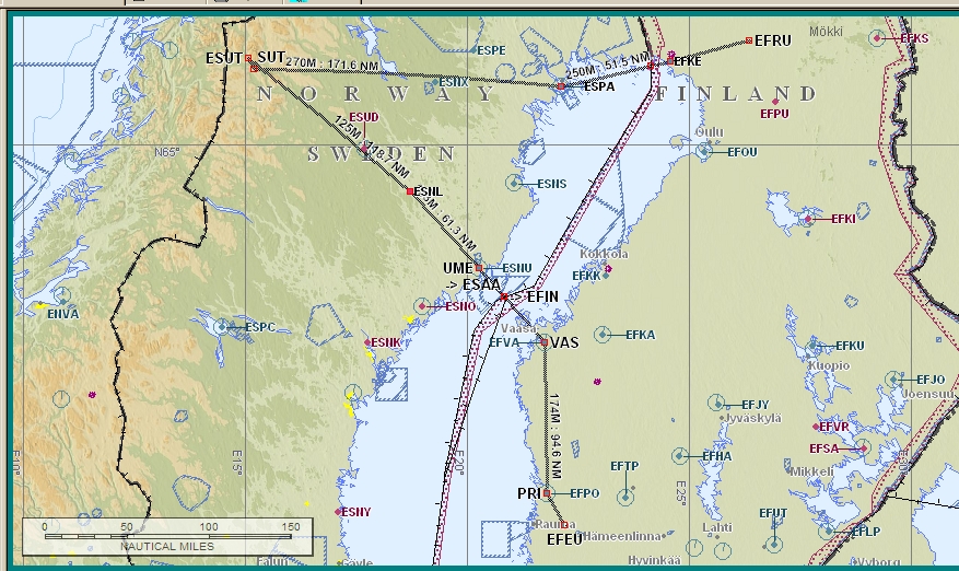
The first leg was from Ranua to Luleå at 4500 ft. After departure my both GPS:s started to tackle. Maybe there are less satellites
above the sea I don't know but during the trip my two GPS:s tackled in turns. Except when leaving Luleå , when they both failed at
the same time.
Luckily I had a Swedish VFR Chart and
Jeppesen VAC-Charts with me and I could manage.
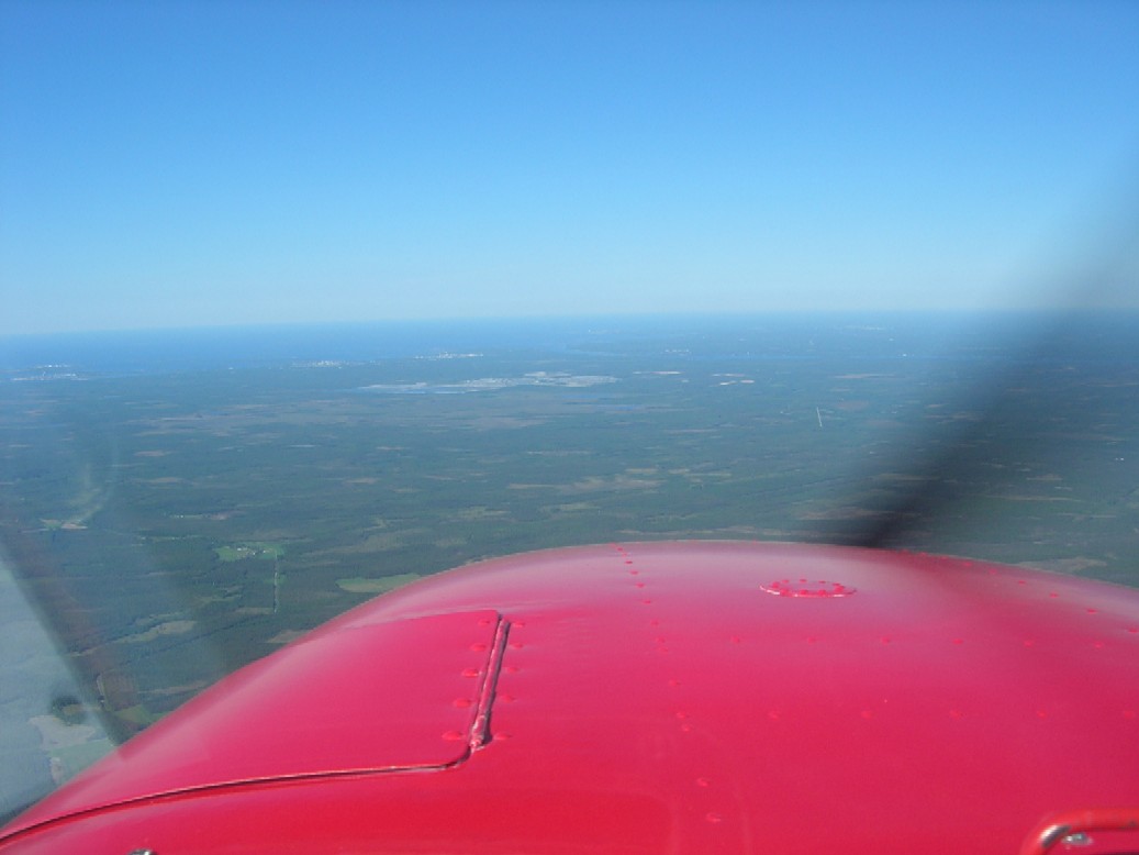
After crossing border at Rotus I had to change my language from finnish to english. Swedish language would have worked as well but I preferred
english and it worked pretty well.
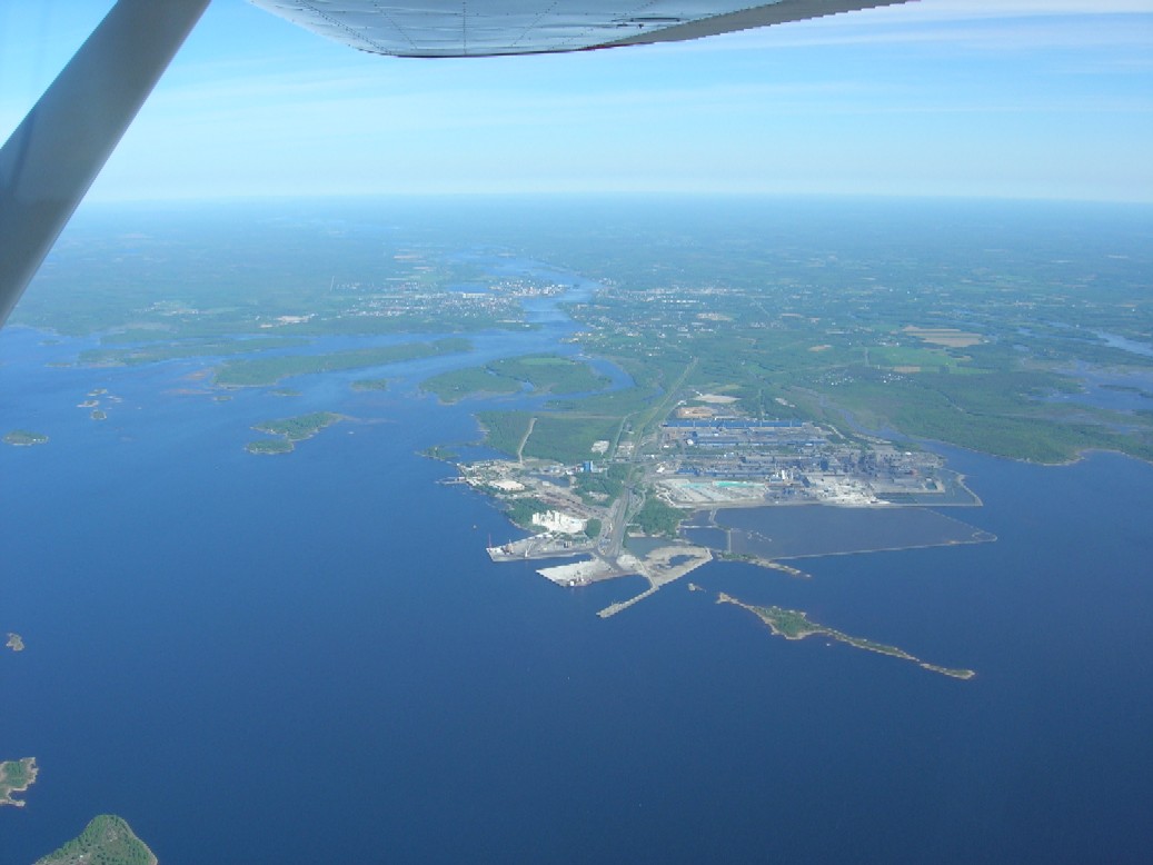
After Border the Sea was fabulous at my left side.
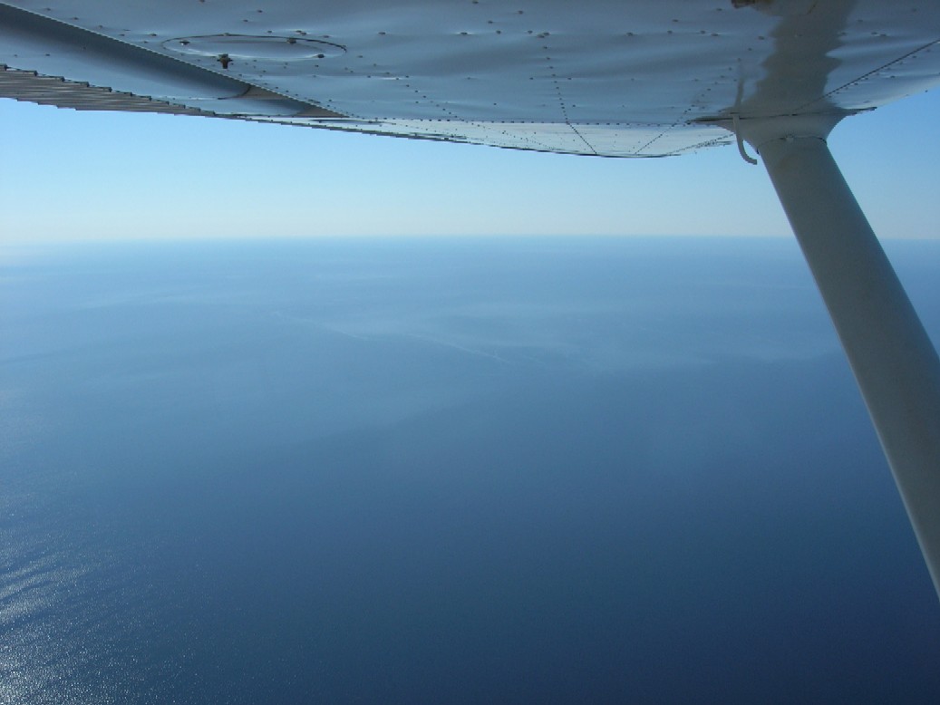
And before me I coud barely distinct Luleå City
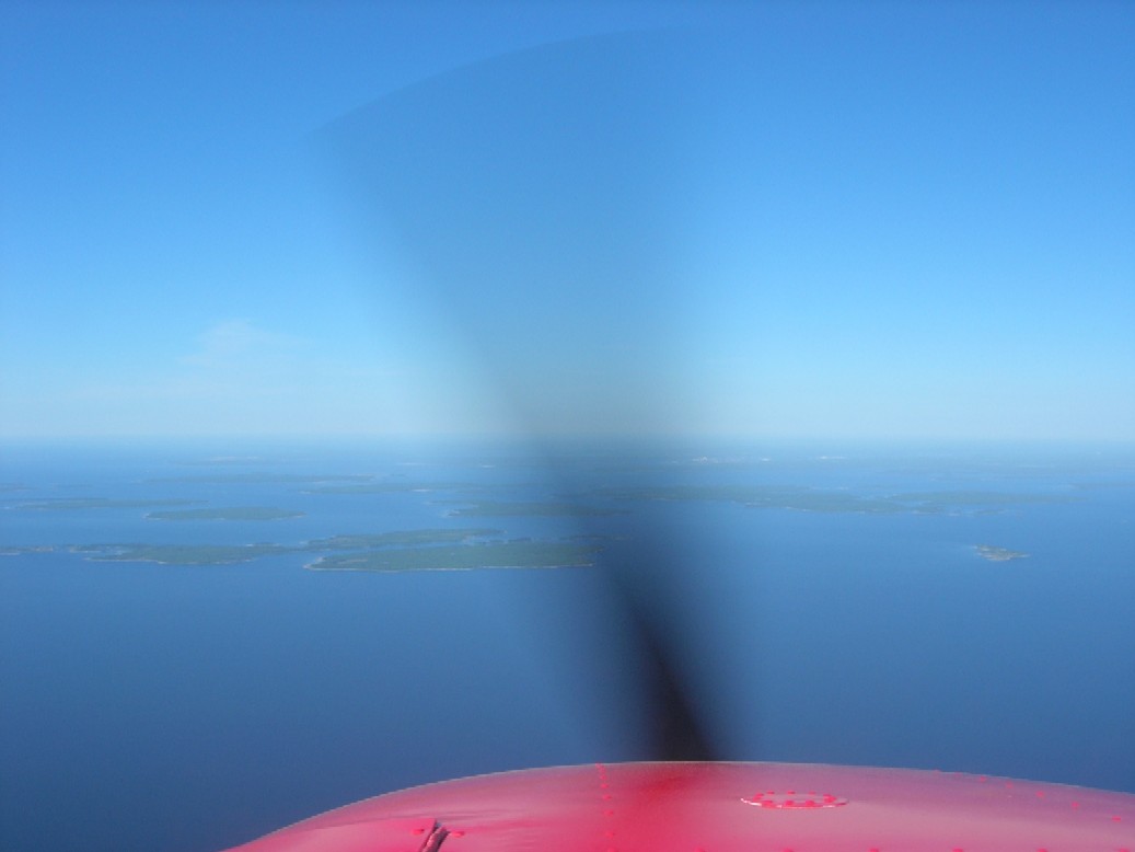
Luleå Airport is situated on the seashore so that runway 32 starts from shore and the Landing lights have been built on the sea.
I regret
it now but I was so busy making my first landing abroad that I had no time to take pictures then. Luleå is a Military Airport by
half and the Tower asked me how long I am going to stay there. I thought it is best to say I will depart again right after I have refuelled.
The tower seemed to be pleased for my answer .
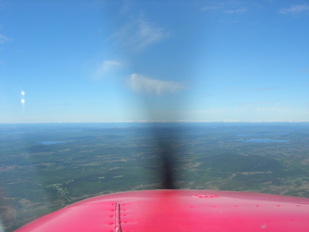
After Luleå the landscape was beautiful but not the easiest to navigate without GPS:s . Next fly-over point was Arvidsjaur AFIS Airfield.
Flight Service informed me that Arvidsjaur information did not want to talk with me unless I wanted so myself. I passed over the Airfield
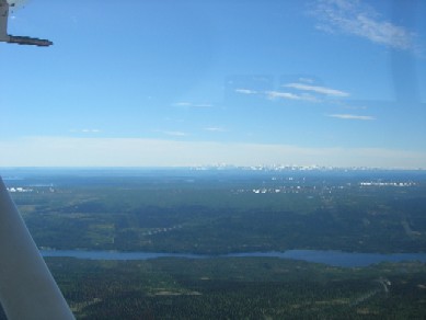
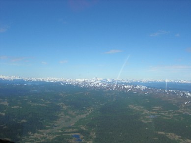
in complete silence - there was no other traffic. Make note of the white Mountain tops that can be seen far ahead.
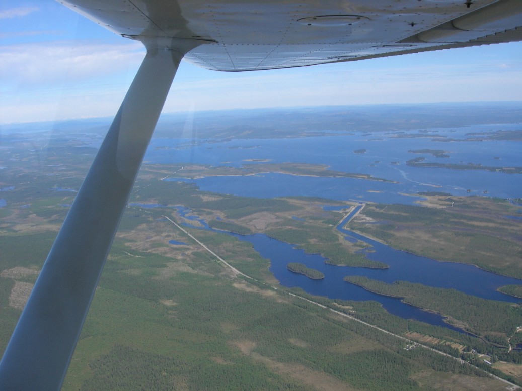
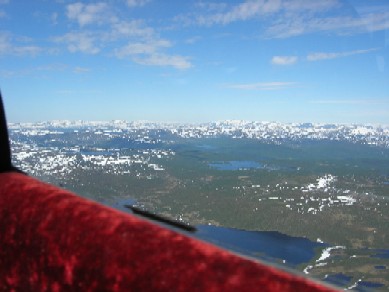
After passing Arwidsjaur the roads below lessened . There were no fields either. The last 30 miles before Tärnaby and Hemavan were just rocky and
snowy high desert without roads or inhabitants. I was happy that the engine worked like a clock - just a few meltings of the Carburator with Preheat.
The
first really high Mountain that reached my altitude (5000 ft) was Ryfjället near Tärnaby. As I was arriving from East, Ryfjället situated south of me.
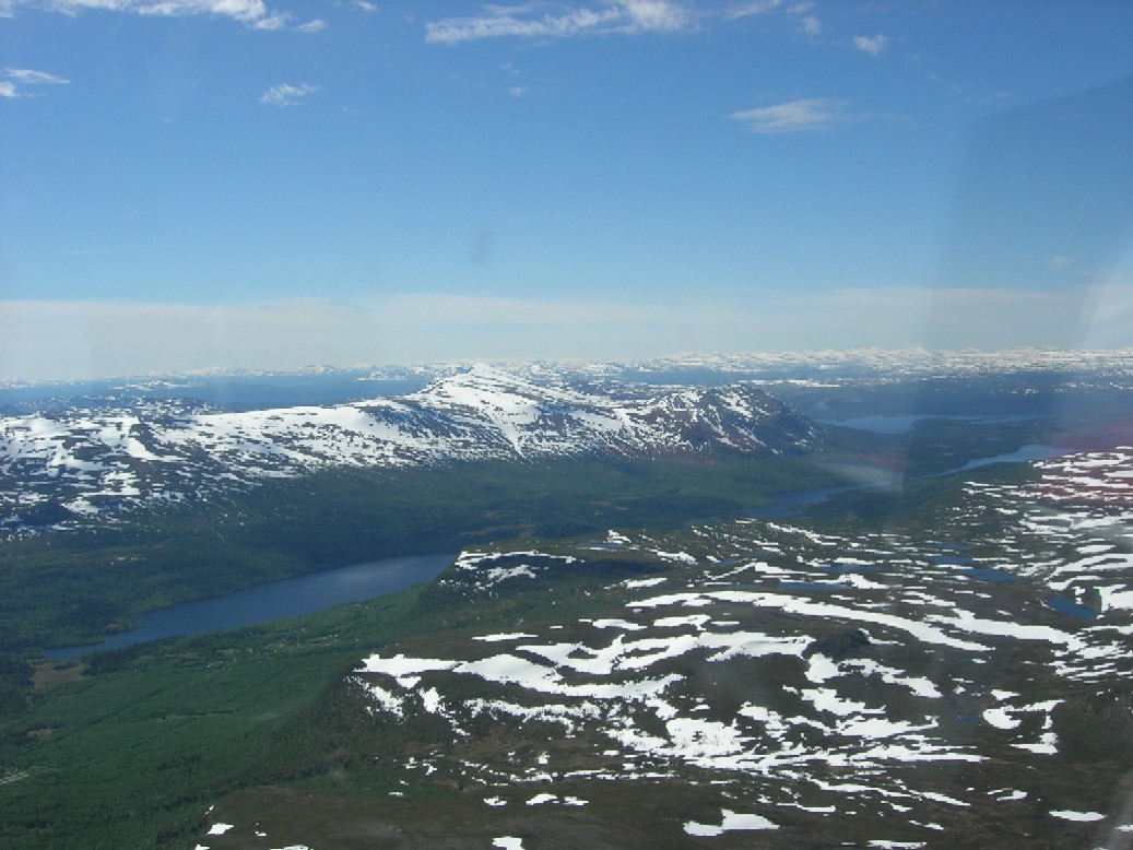
The next Valley for leaving Hemavan to Umeå was visible at my left side after passing Ryfjället.
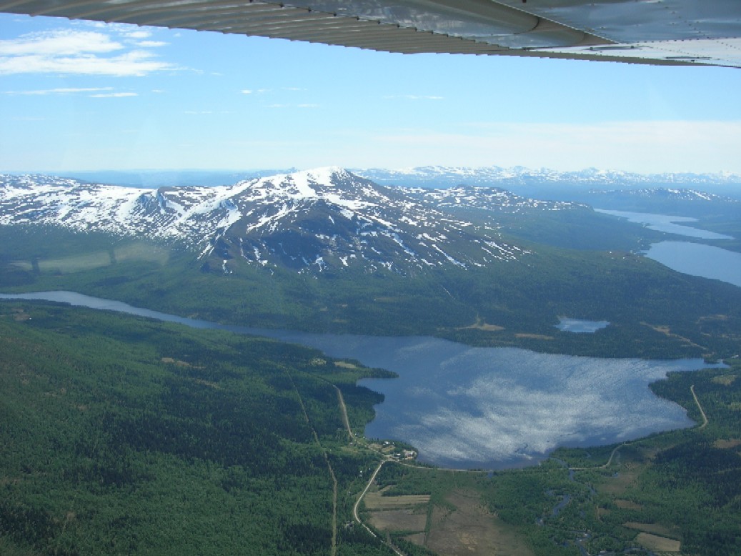
There happened to be another finnish plane at 8000 ft taking Photos when I called for Hemavan Traffic. They told me ( we talked in finnish of course)
that there was no person whatever at the Airport. They gave me a very usefull code by radio which I could use to open the gate to get out and in at
the Airport.
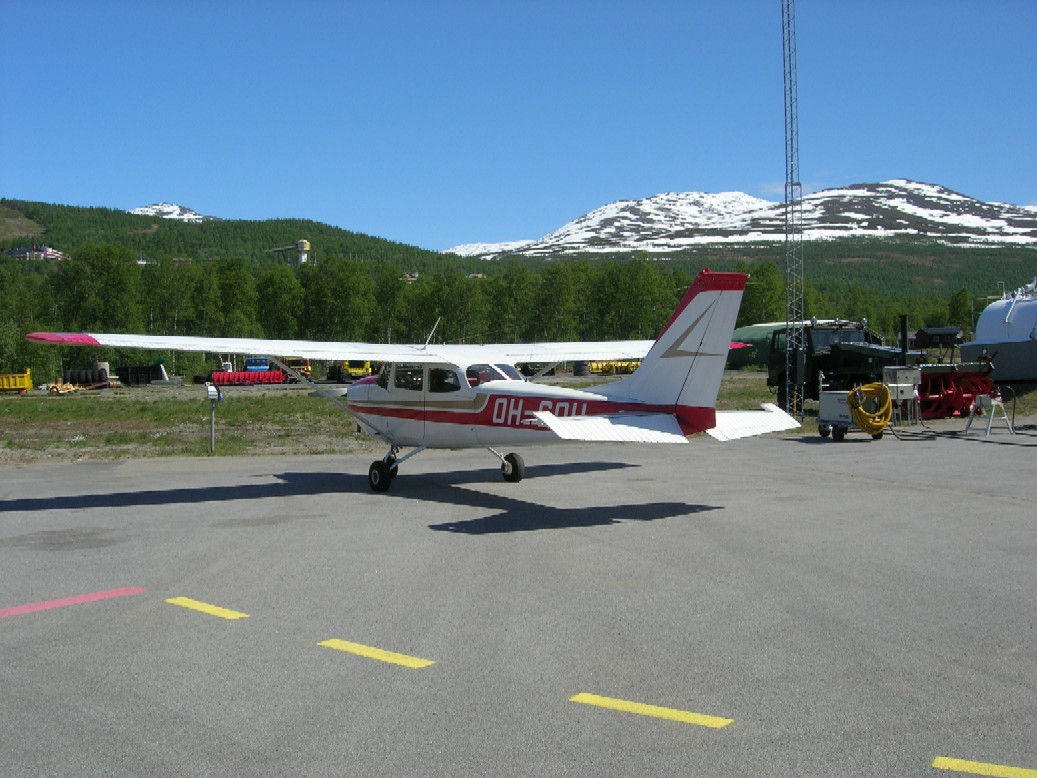
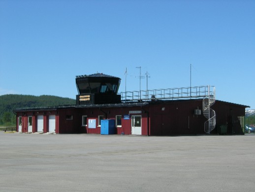
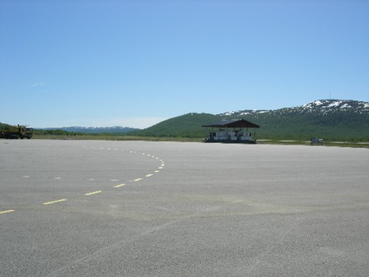
After parking my Plane I walked a few hundred meters to a
Boarding House which had a special offer to rent Cabins for 500 swedish Crowns / night
meaning about 50 euros. I took a Cabin for the night and decided to climb a litttle. I had a cool bottle of Beer in my Pocket to keep me well nourished
during the Climb.
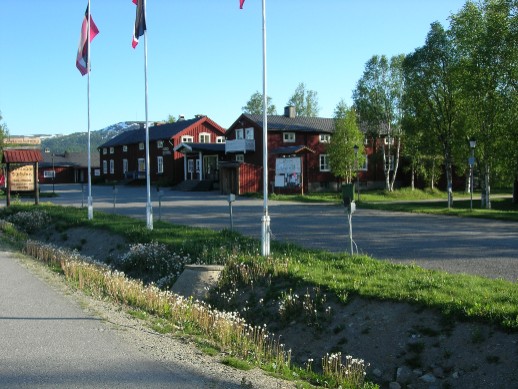
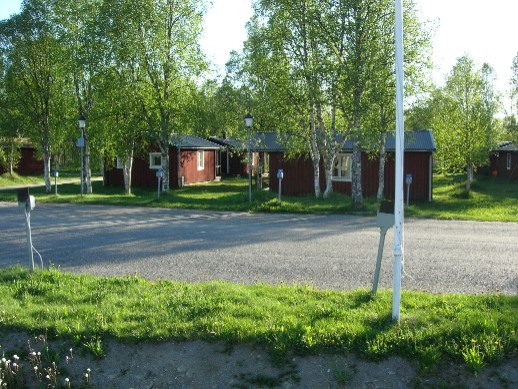
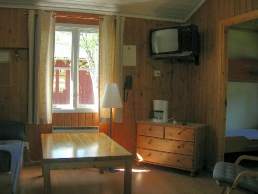
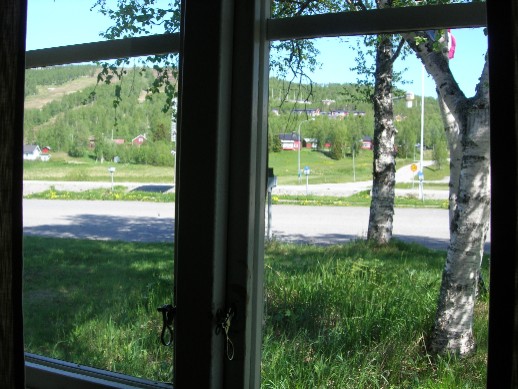
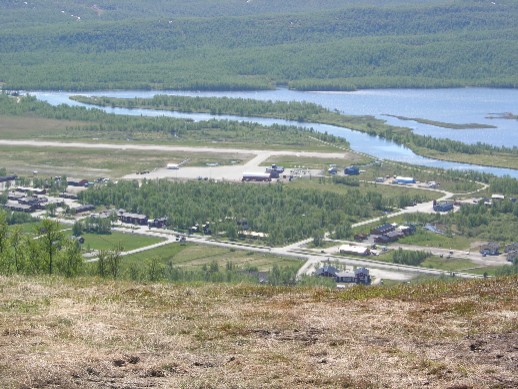
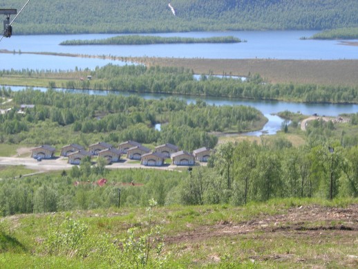
I should have remembered to put some sun protection oil on my nose , but I didn't . So I had a red burned nose thereafter.
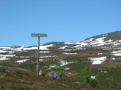
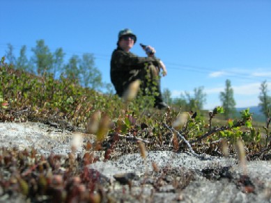
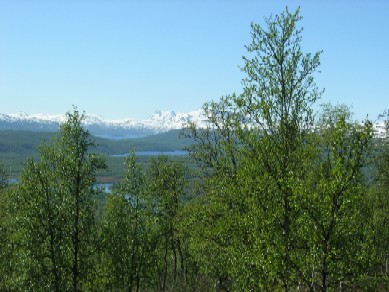
Next morning was cloudier and I had a few drops of morning rain . The weather prognosis was good however so I made my fligt plan straigt to Lycksele
at 5500 ft.
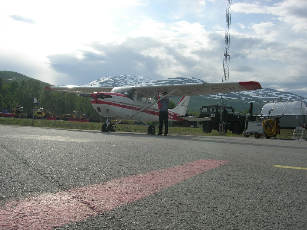
This time I passed Ryfjället on the south side.
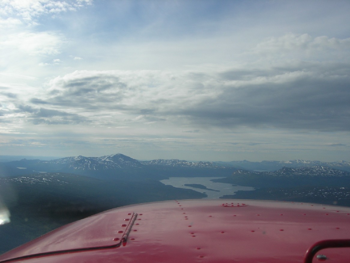
The River Valley with a road on the north side was so easy to follow , that I wouldn't have needed a map at all. I forgot to take any PIctures at Lycksele
when refueling, but the scenery was quite beautifull there also. After taking off I could soon see Umeå city and the sea behind it.

When approaching
Umeå Airport for fly-over I coud barely see Holmö -ireland at my left and Raippaluoto far in front of me..
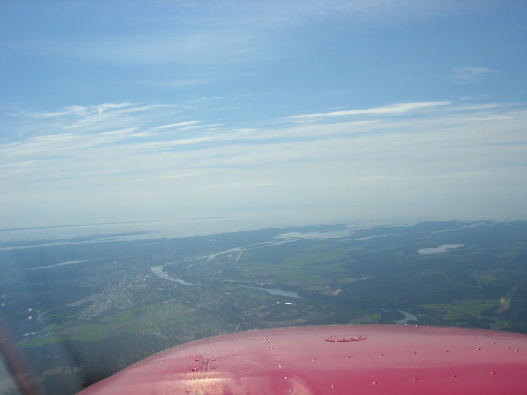
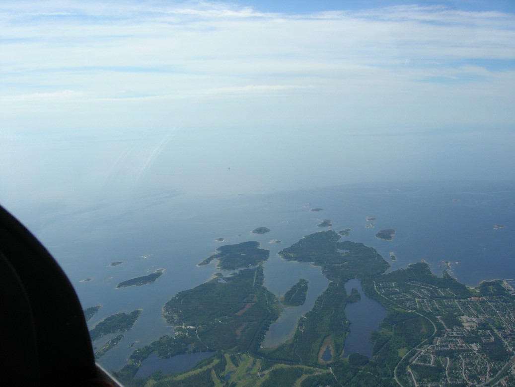
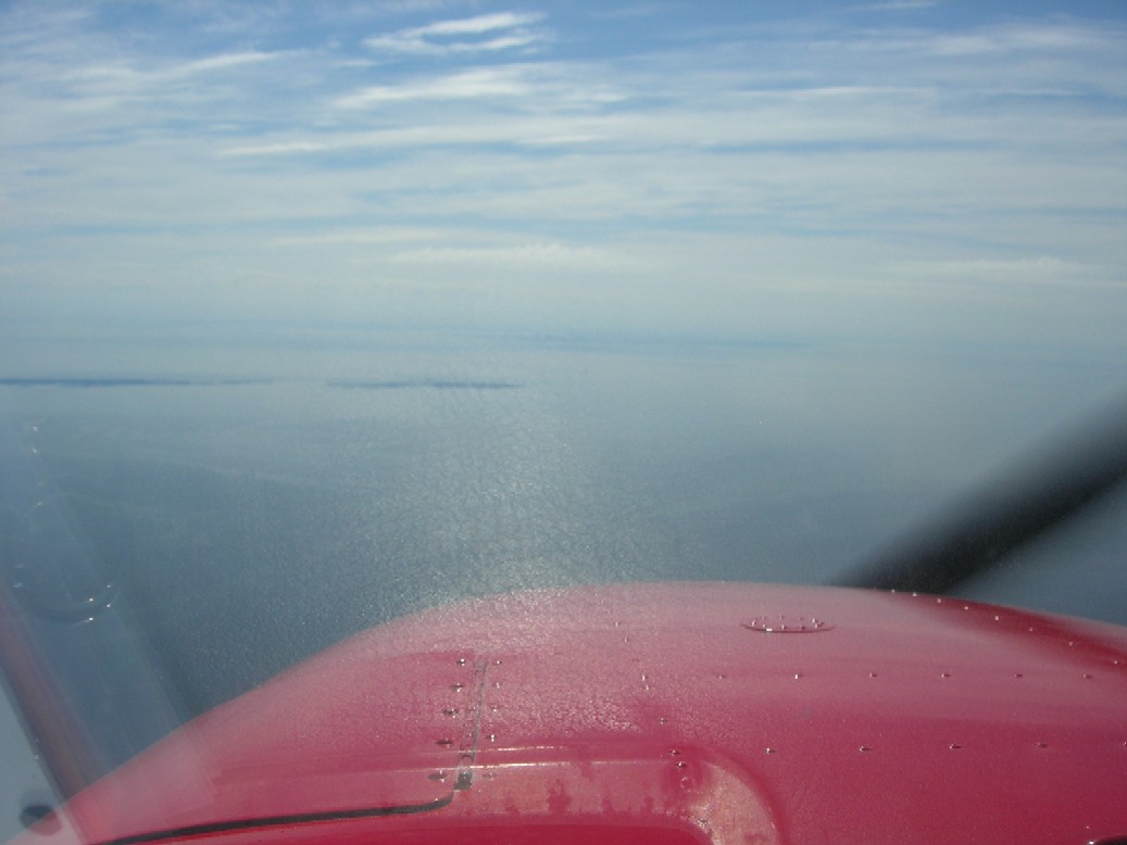
The winds were favourable and it didn't take me long to cross the sea at 5500ft. The air was very smooth above the sea. . Vaasa Airport was my next
fly-over point.
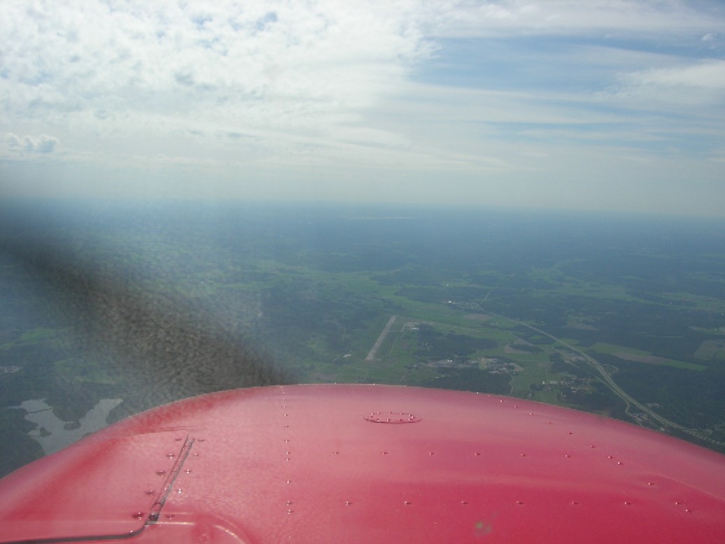
Vaasa-city being on my right side.
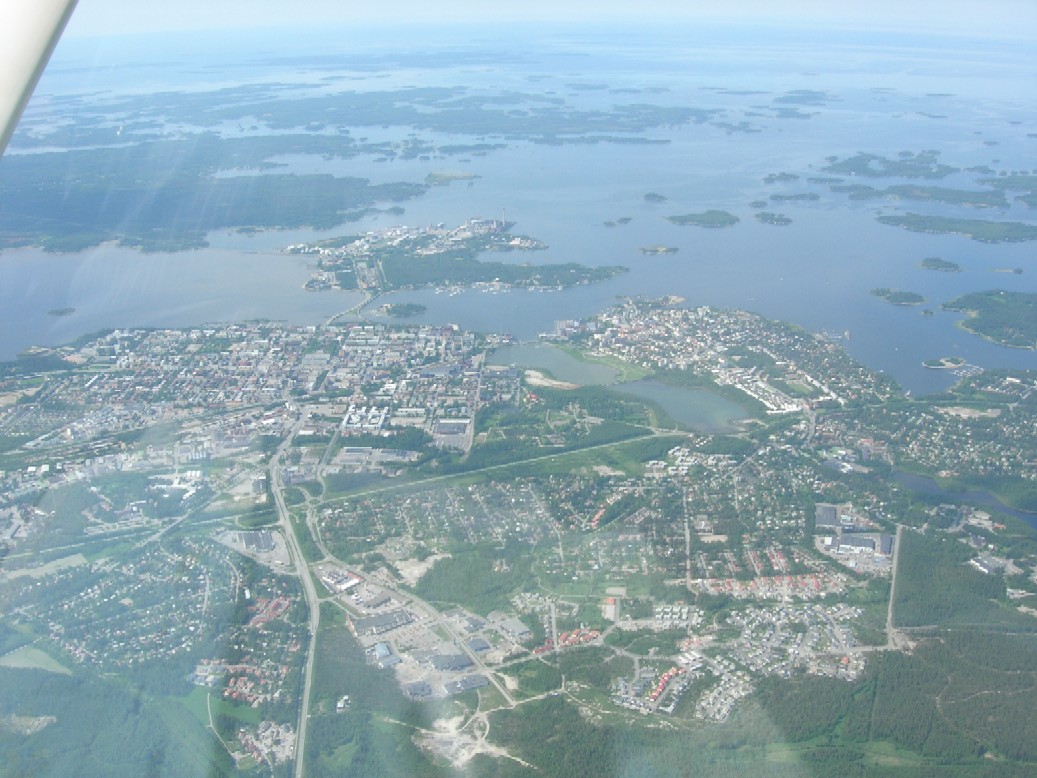
Hereafter I had a fly-over point at Pori Airport and next leg being the last one to Eura Airfield at home.
This was a very special trip for me as it was my first trip alone abroad. I hope it has some value to you¨readers as well.
I intentionally did not tell you about the dangers when flying in Mountaneos Aeria. The differences in Airfield and route elevations demand a lot
of power from your airplane. The wind shear downwards beside a mountain when the wind is comin from behind it can create a danger situation.
If you get lost flying a narrow river valley under low ceiling you may have trouble in turning around. But the these risks are very clearly explained
in the pdf-formatted "VFR-Guide to Norway". If you can't find it from the webb-sitesmentioned in the beginning of the story I will e-mail it
to You by request.
Tero

