Is there any sense in landing to six Airfields and flying over
three more airfields in just one Day?
Actually No - of course there isn't.
But I have allways wanted to see Ivalo and Lake Inari . It
takes practically a day to get there by car from my
summer Cottage and I would have to stay at least one night
there to rest and see the place before I can drive back
again. Pokka desert Area and the West-border River
District are almost as interesting to me.
So I made a rather ambitious operative Fligth plan:
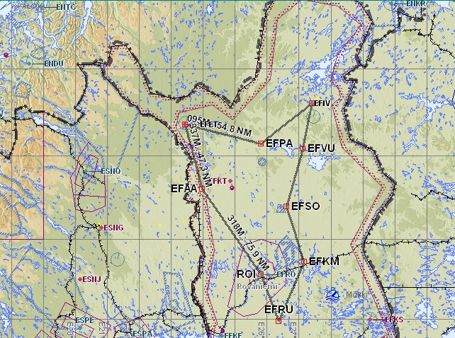
If necessary for some reason , I planned to stay overnight in Ivalo.
Tuesday morning 07.08. was very beautifull and weather forecasts
promised temperatures as high as 25 degrees Celsius:
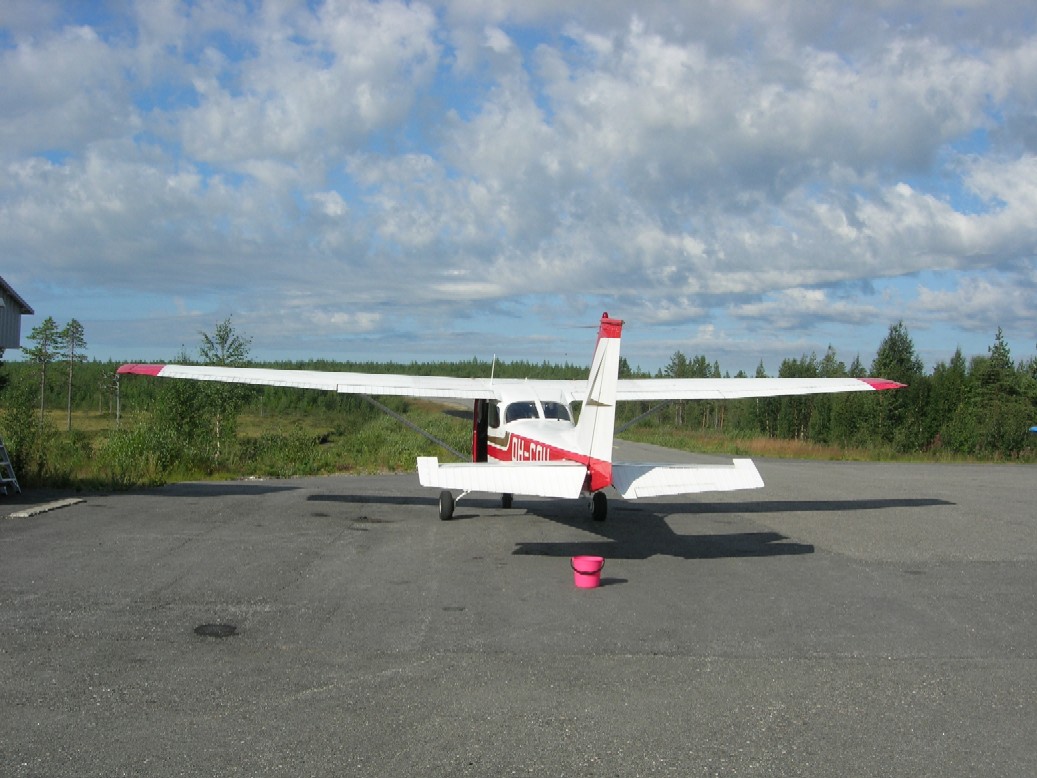
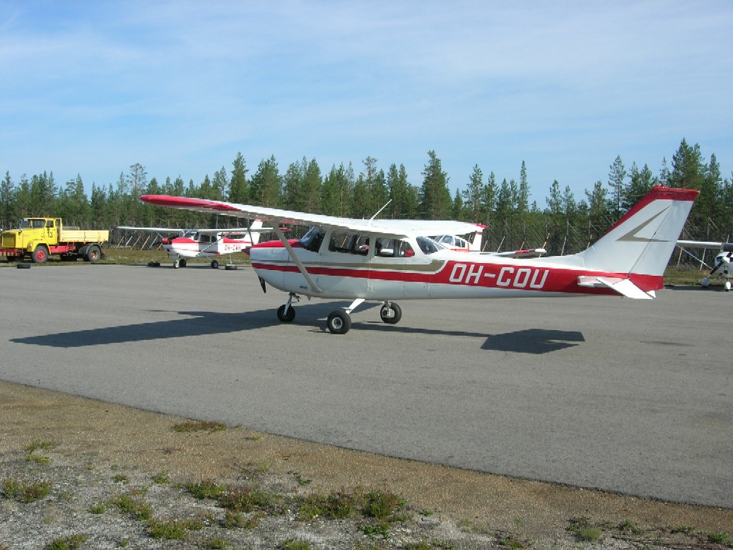
After cleaning the wings from birdshit I was ready to leave Ranua at
10 am.
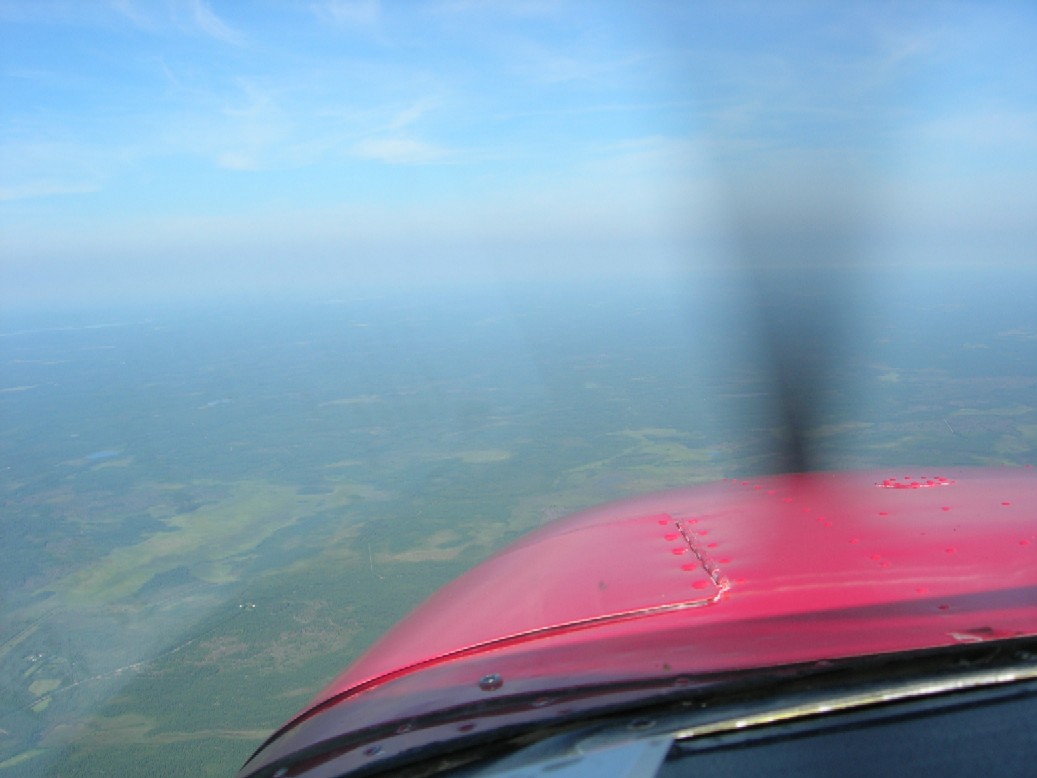
I was beneath Rovaniemi MilCTA so I had to get a clearance to climb
higher right after start. My reguest was 4500 ft but 2500 ft was all I
got
because of two pairs of Hornets that were going to land to Rovaniemi
Airport at the same time as I was going to fly over.
The FD kept me busy directing me to Eastern Holding to wait for the
first pair to land , then quickly over the Runway before the
second pair of the
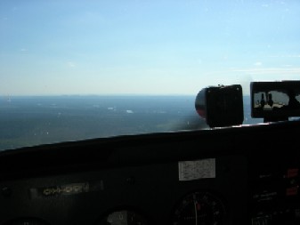
Hornets landed . So I had no time to use my Camera during
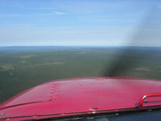
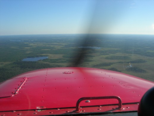
Rovaniemi fly-over. First Pictures taken were from the northern TMA of
Rovaniemi:
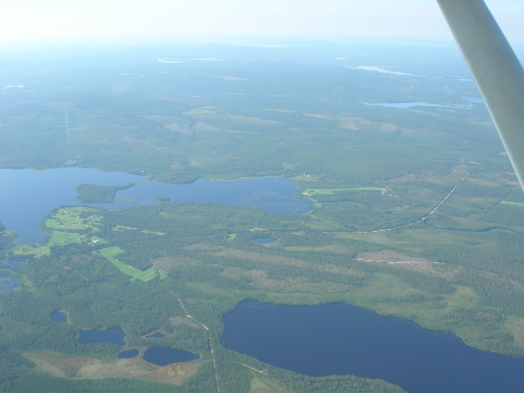
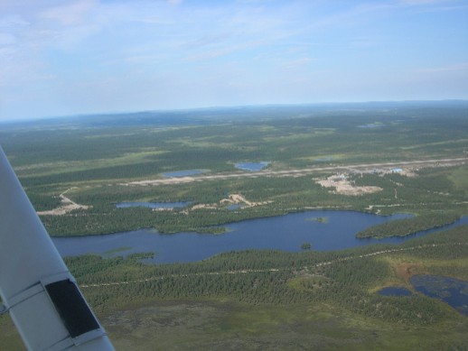
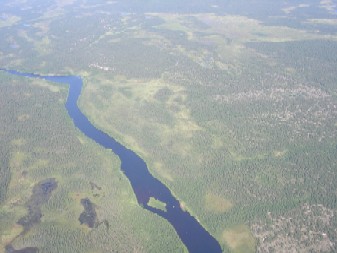
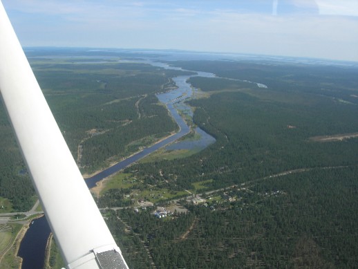
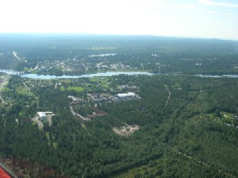
The Village above is Kontojärvi and I am flying over West side of
Ounasjoki.
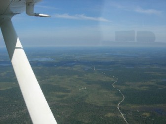
I had calculated that it would take me an hour and fifteen minutes to
get from Ranua to Aavahelukka Airffield near Ylläs and that is exactly
what
happened also. When approaching aavahelukka you can just barely see
the airfield slightly to the left of the center in the Picture:
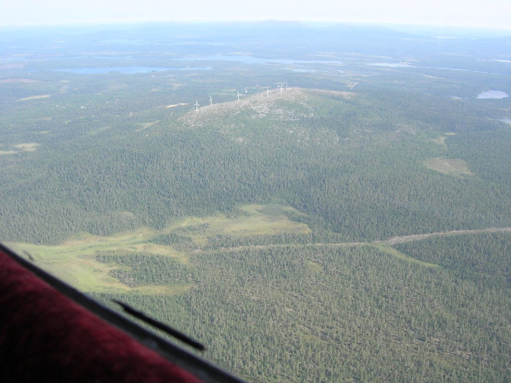
And when joining to the Circle , Mountain Ylläs is on Your right
side:
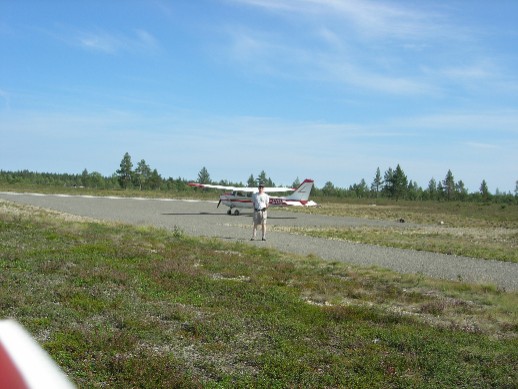
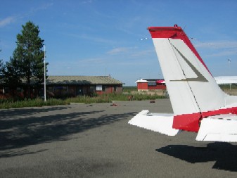
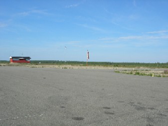
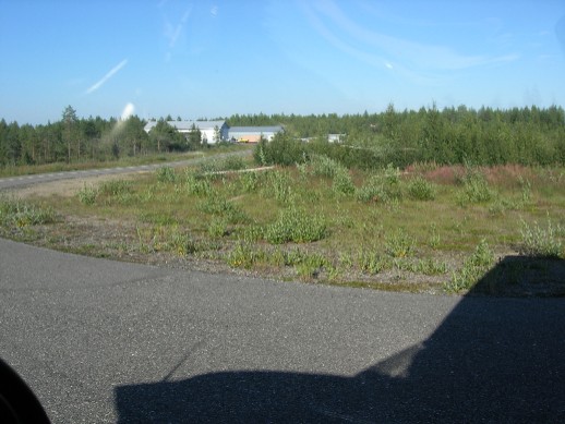
The Airfield is quite exotic with high fences against Reindeers:
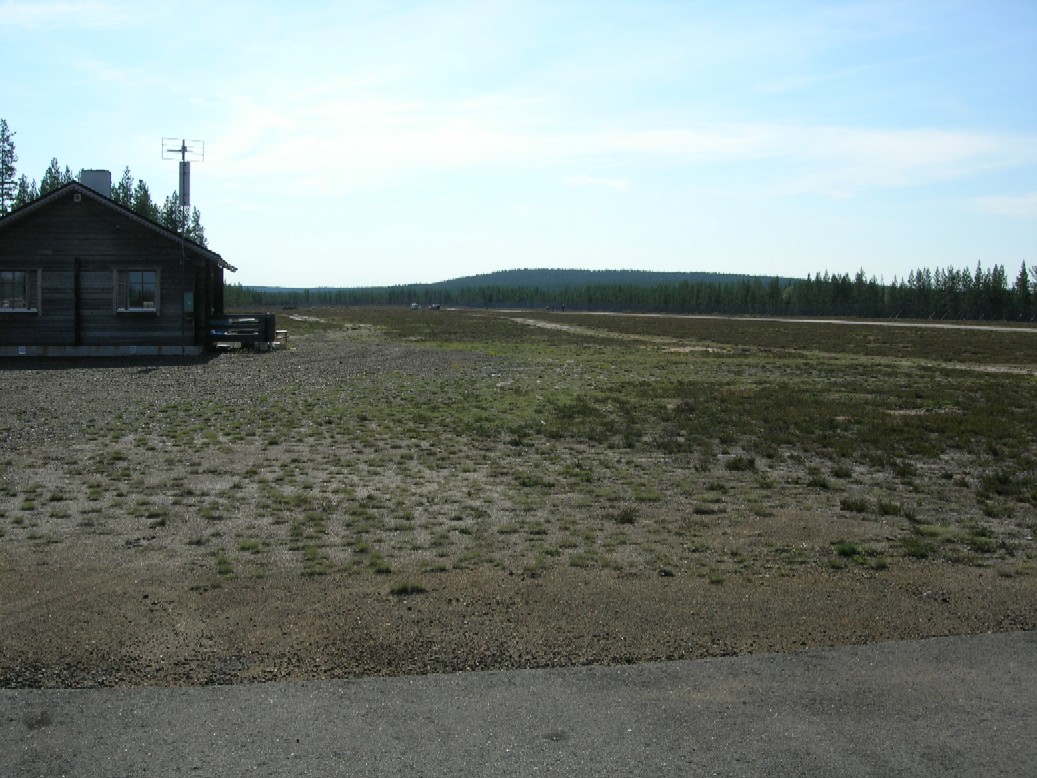
The Cabin beside the Platform is well equipped. Local Flying
Club Members were just planning new paintings on the Runway when I
visited the
Airfield.
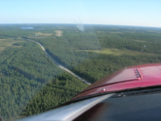
Next Target was Enontekiö Airfield and I planned a 35
minutes leg there.
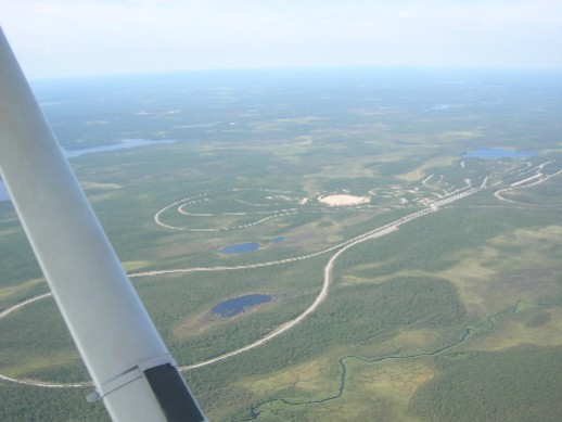
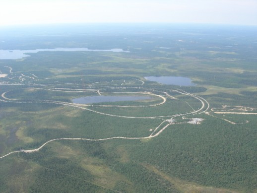
Before Muonio Village I found a very interesting Race-Track .
It has been designed for Car Manufacturers to use for testing new Car
Models especially
in Winter conditions:
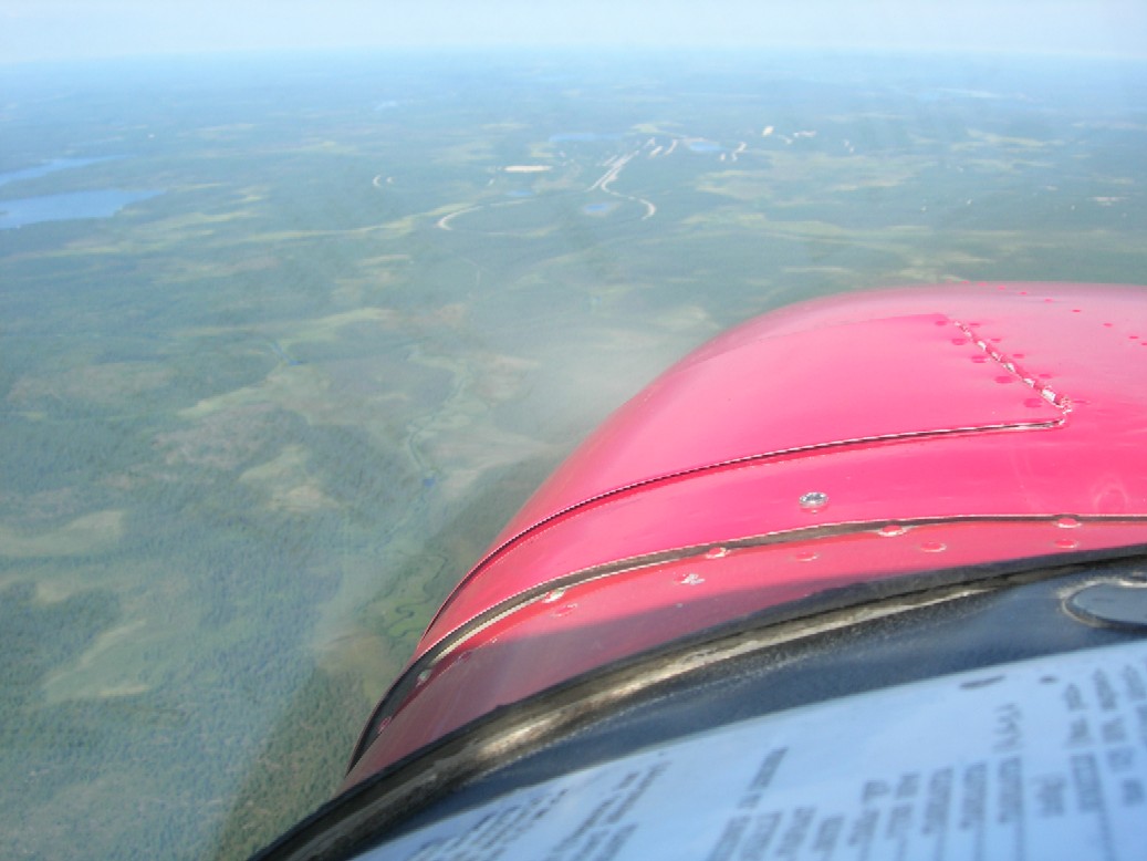
Power Stations are very modern and ecologically clean in Lapland:
Muonio Village is situated in ADIZ-zone :
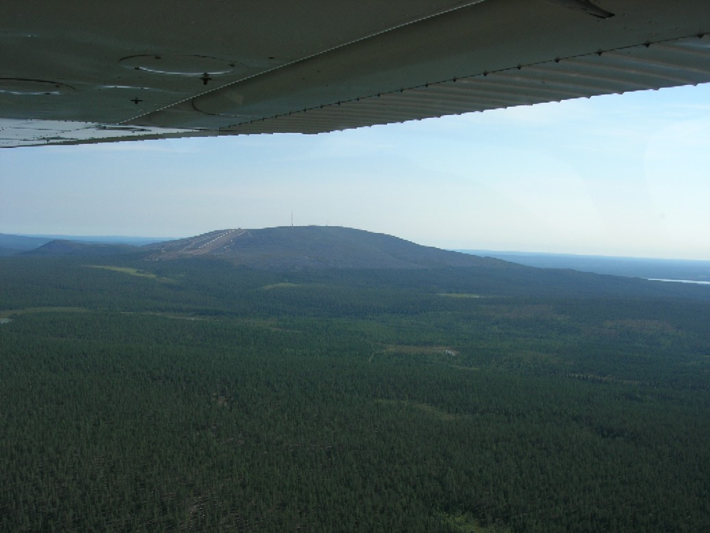
Mountain Pallas was on my right side:
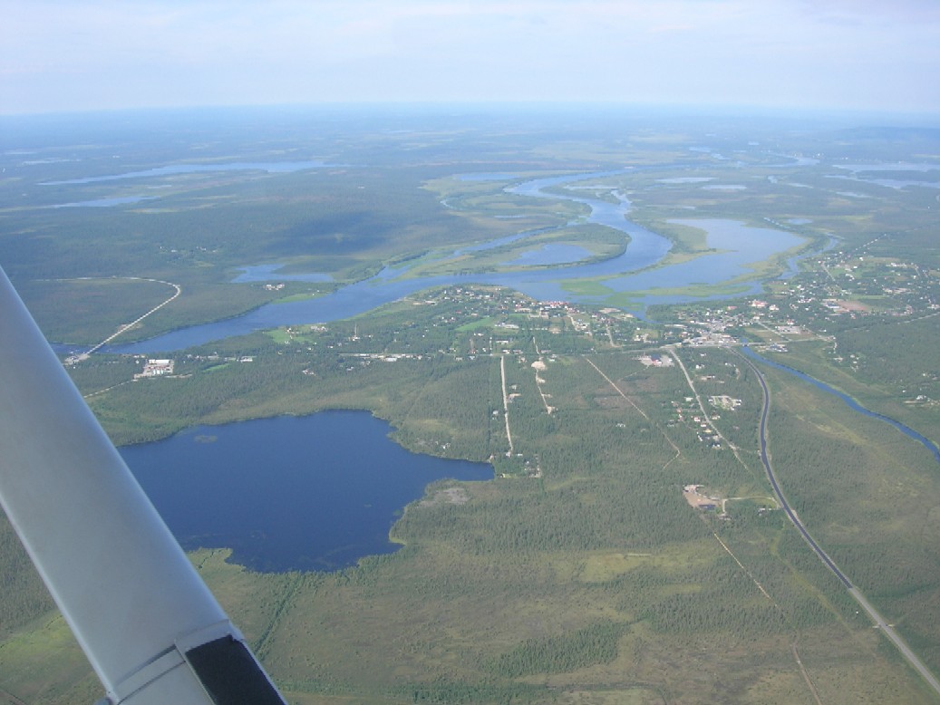
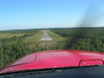
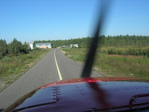
Enontekiö Village is to the right , Airfield to the left:
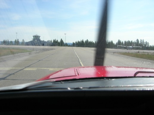
Enontekiö AFIS was closed for the summer , so I was alone in the
Airport.
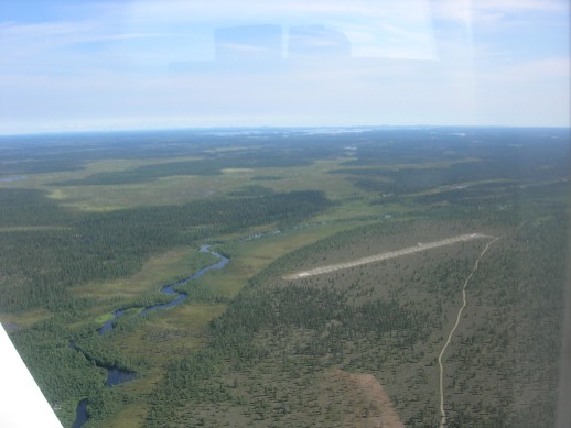
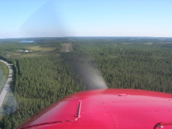
My next target was Pokka Airfield about 35 minutes ahead:
After crossing Mountain Pyhäkero I had Ounasjoki River and
Mountains Ounas and Pallas on my right side

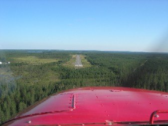
Above Ounasjoki I could see Village Peltovuoma on my left and
Montains Kätkä and Levi on my right.
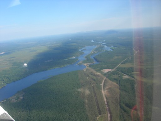
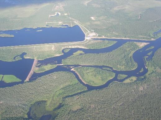
Far ahead I could see Pokka Airfield and Artificial Lake Porttipahta
behind it:
I had done about half of my Route so it was time for Lunch .
Temperature was rising above 25 degrees Celcius:
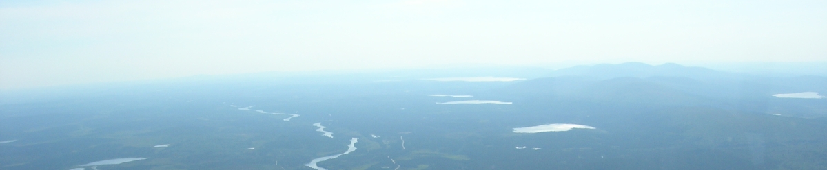
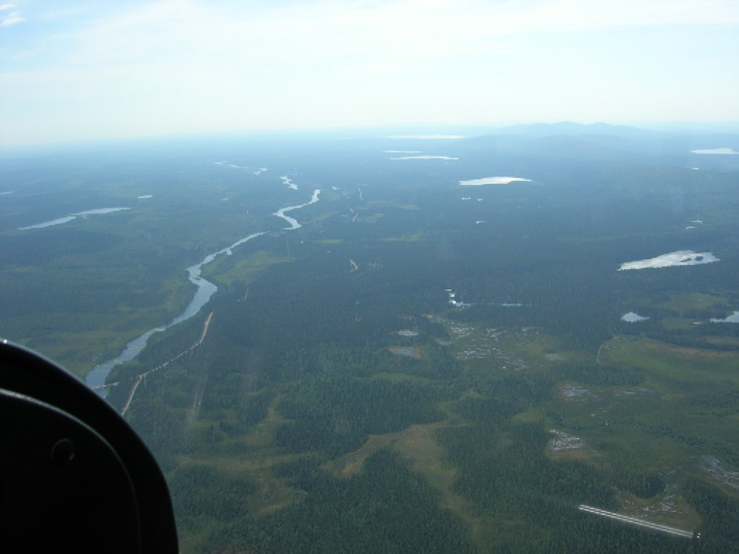
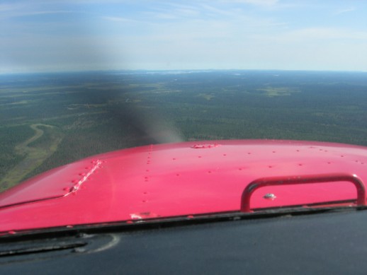
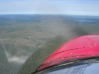
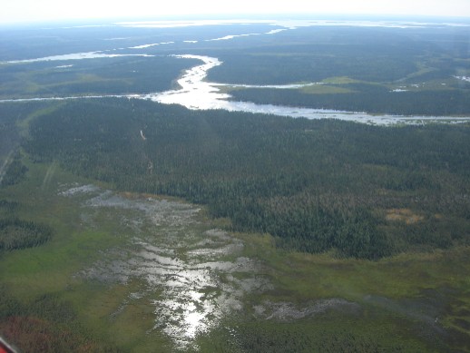
Next leg to Ivalo was 30 minutes and there were only few visual
references on the Route. I could see lake Porttipahta on my right side
and Saariselkä
hills far right. Would I see Lake Inari before
arriving?

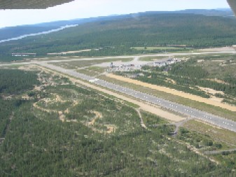
No - I coudn't see even the Ivalo Airport before I was almost there.
There were hills in front of the Airport . Lucky I had my GPS with me:
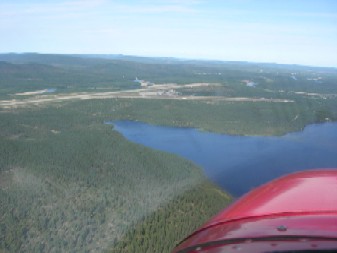
Lake Inari I could see just before landing, but it was so far away
that I would have needed a taxi to get there.
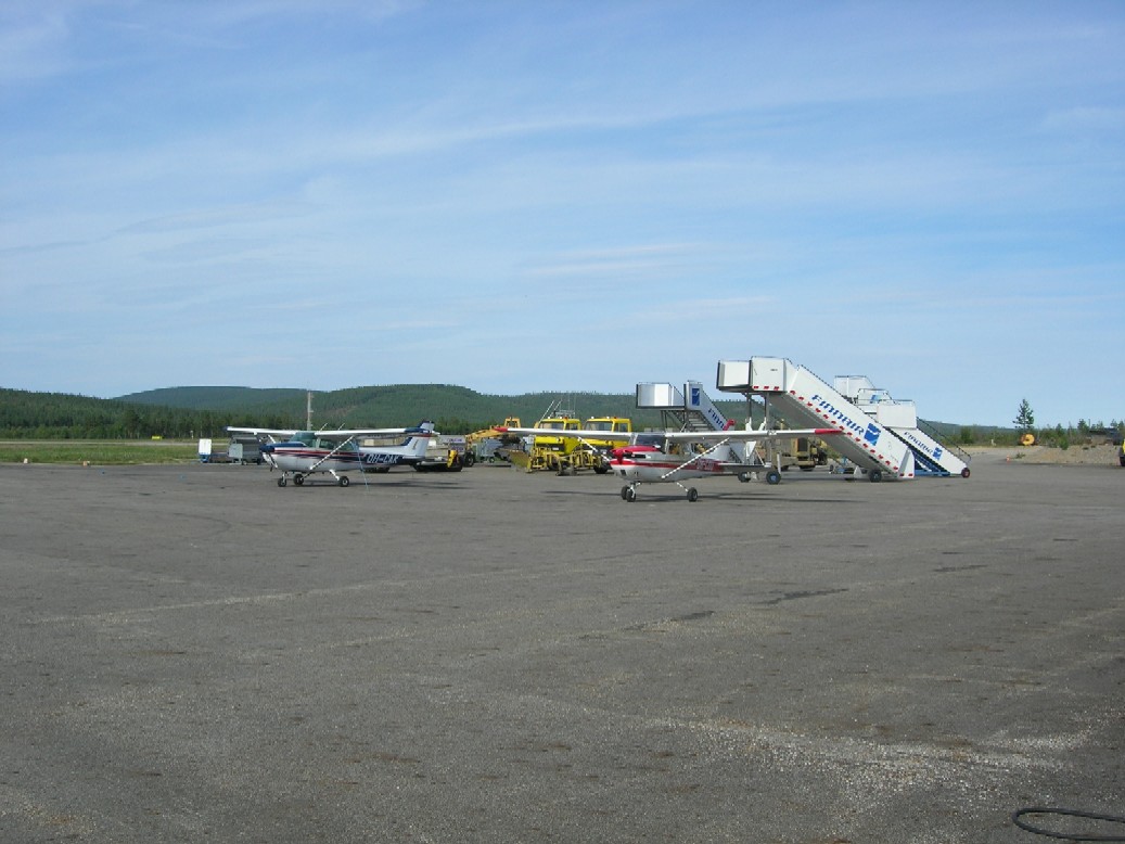
I refueled my plane , stayed a while and decided to go on . It was
just an early afternoon about 3 p.m. so I would easily make it back to
Ranua before
night. Besides there were no persons at the Airport . The AFIS would
have opened at 5 oclock p.m., but who needs it...
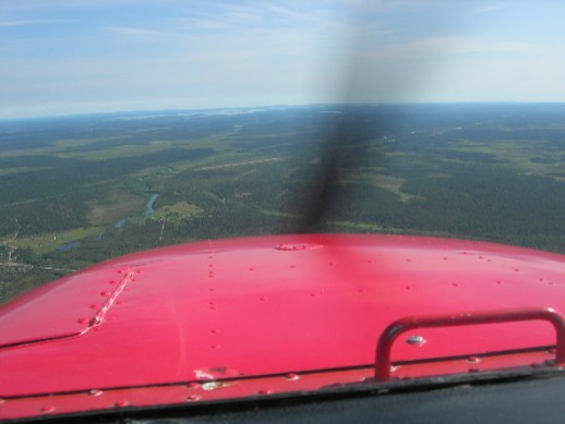
The Hills and Mountains on my left belong to Saariselkä Area.
After 15 minutes I flew over Vuotso Village. There were an unofficial
Airfield with gravel surface. Far left Lake Lokka ja right Lake
Porttipahta
and beside me on the left Vuotso Airfield:
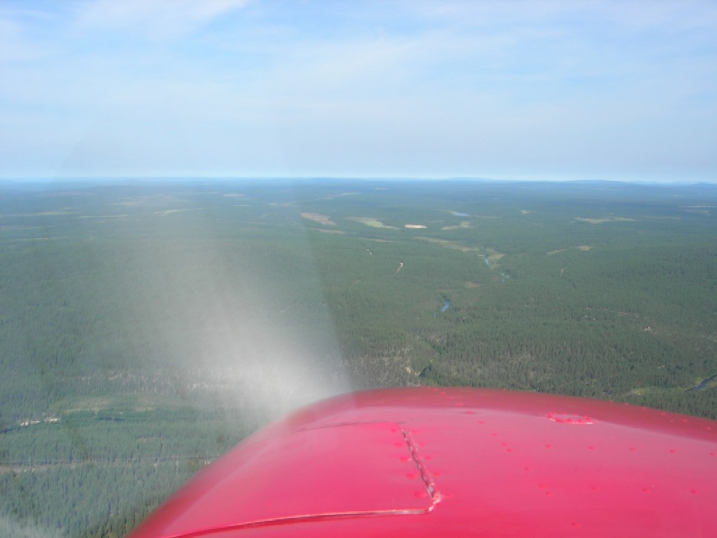
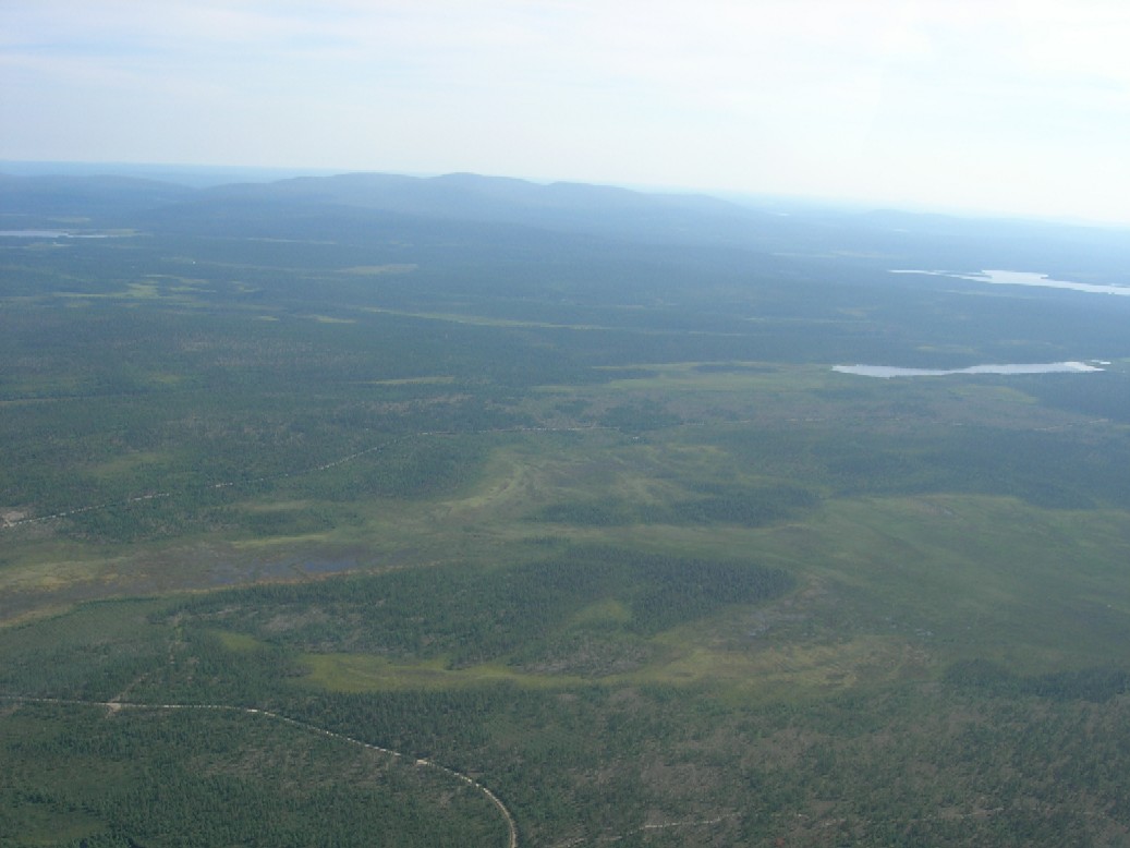
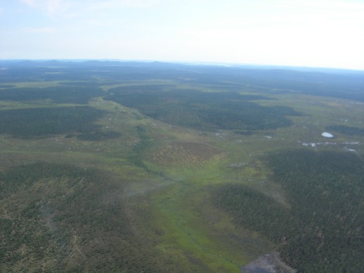
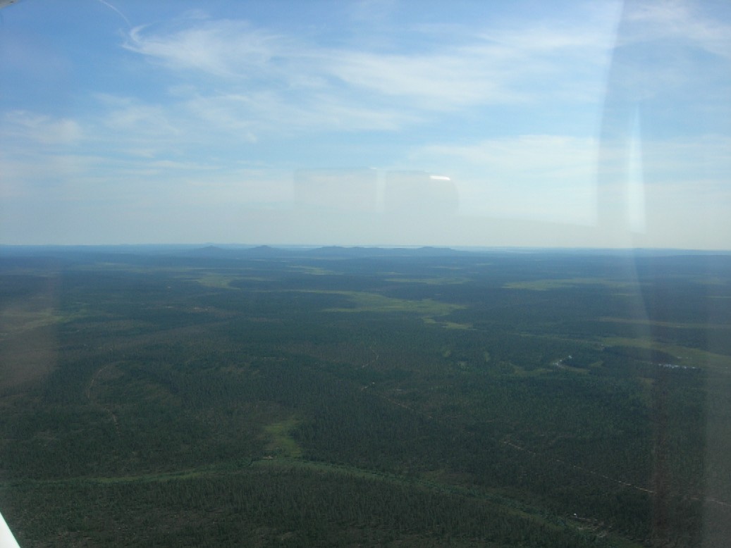
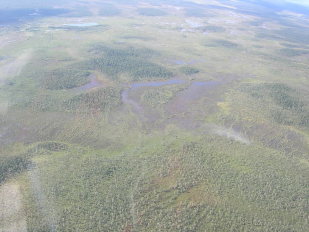
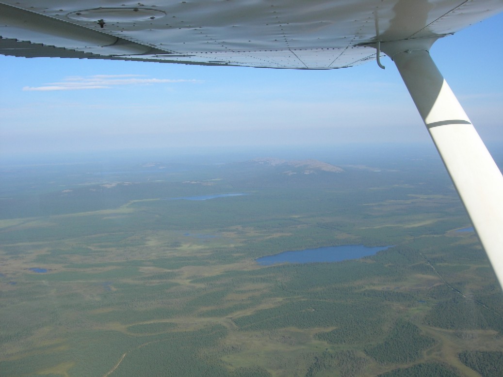
After Vuotso there were no inhabitants - just swamps and forests:
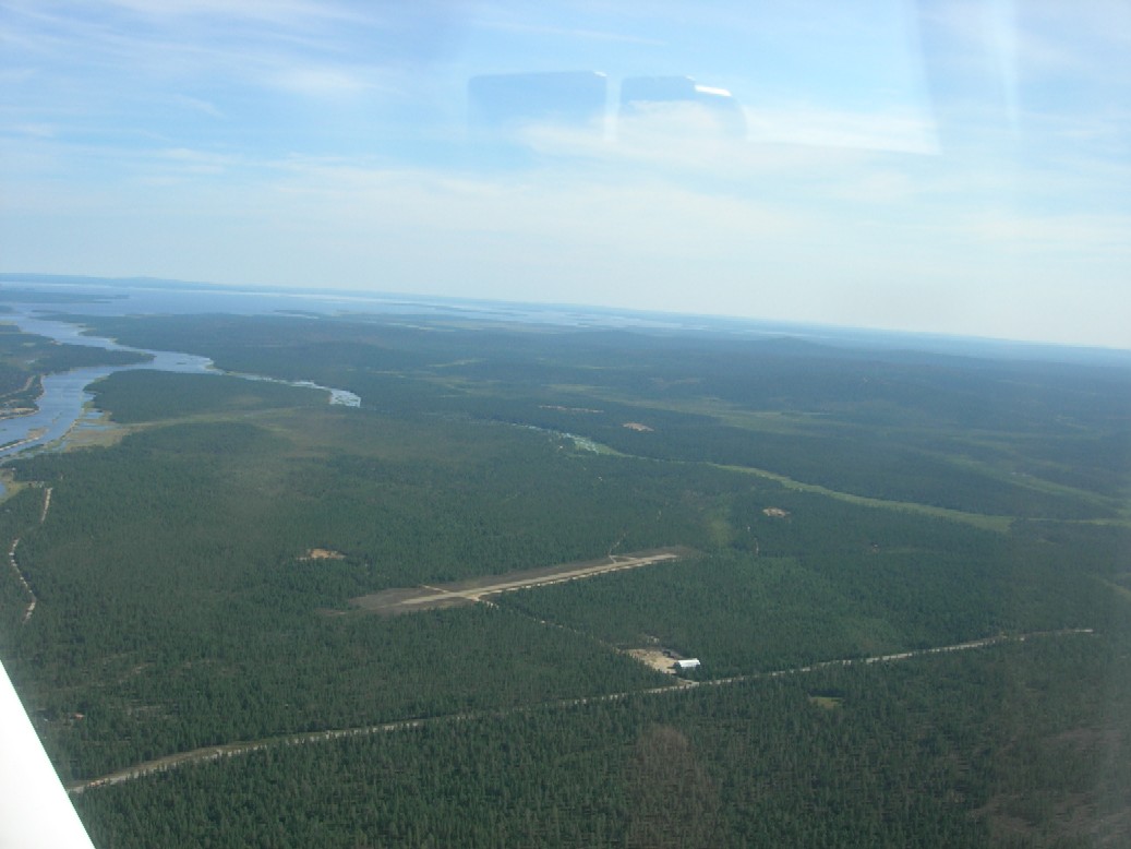
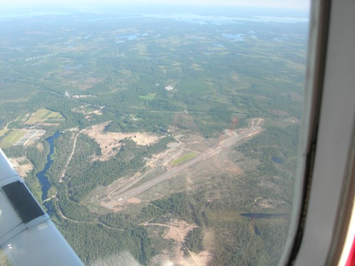
But Sodankylä was there after an hours flight and I landed there:
Sodankylä is an AFIS -Airport , but AFIS is closed at least for
Summer.
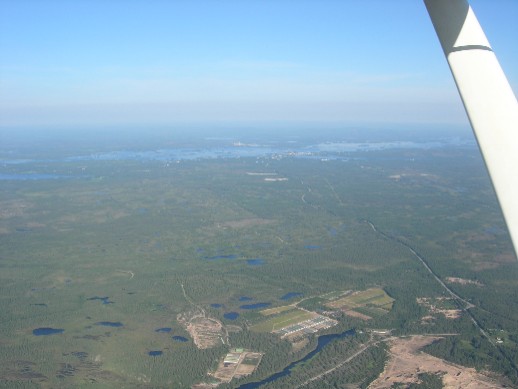
After Sodankylä I had an hours flight via Kemijärvi back to
Ranua. River Kitinen on my left side:
Mountain Ylläs on my left side:
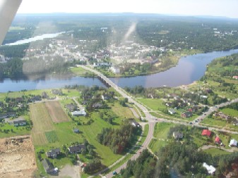
My Route crossed over Kemijärvi Airfield , Kemijärvi City can
be seen far behind it:
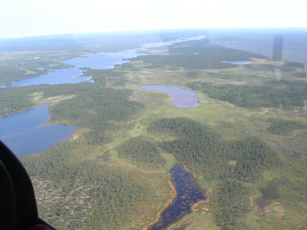
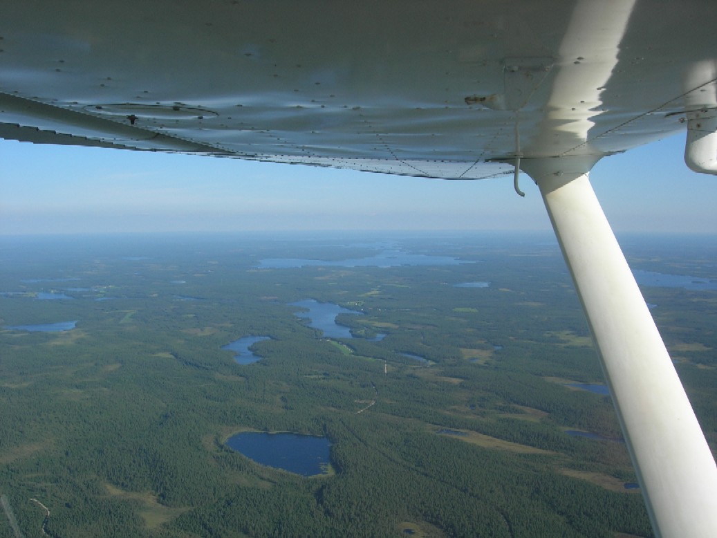
The beautifull Simojärvi Lake district was on my left side just
before approaching Ranua:
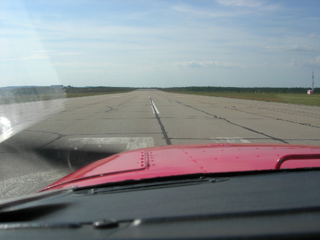
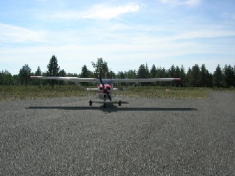
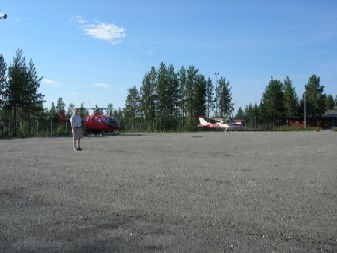
I landed on Runway 15:
It was good to be back home again . It was a long flight -
about 8 hours - and I enjoyed every minute of it.
I know the Area better now and I am ready to do the Route or Part of
it any time . Especially if I can find friends to fly with me and
share the
expences.
Tero